Orroral Valley bushfire impact report
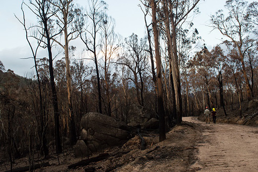
On 27 January 2020, the Orroral Valley fire swept through Namadgi burning about 80% of Namadgi National Park (82,700 hectares) and 22% of Tidbinbilla Nature Reserve (1,444 hectares) and 3350 hectares of rural lands.
Video: Fly-through of Namadgi National Park showing the scale and severity of the Orroral Valley Bushfire in January-February 2020. Note the pink lines show where retardant has been used to contain the fire.
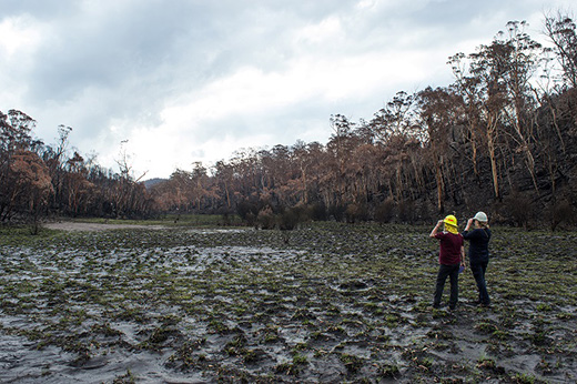
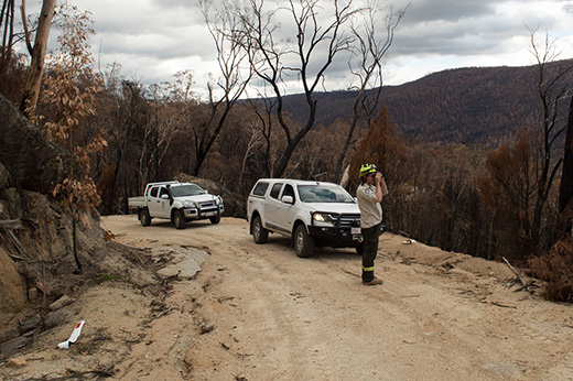
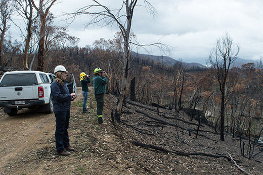
Following the fires the ACT Government, deployed a Rapid Risk Assessment Team (RRAT) to assess risk immediately post fire.
The findings from the study will help shape the ACT’s steps on a journey to recovery in Namadgi and Tidbinbilla identifying key priority areas which will guide our efforts in the months and years to come.
The team identified 27 risks, broadly centre around:
- direct impacts on cultural heritage (rock art, archaeological sites, stone arrangements, heritage trees, huts)
- risks to public safety (damage to roads, walking tracks, dangerous trees)
- impacts on threatened ecological communities (alpine bogs)
- threats to biodiversity (predation, feral herbivores, invasive species)
- risks to biodiversity (water quality for aquatic species, large gliders, threatened flora and fauna, fire-sensitive communities, hollow-bearing trees, aquatic and riparian habitat)
- impacts on water quality (sediments and nutrients in water catchments)
- hillslope erosion, and
- damage to assets, including those owned by rural landowners (fencing and visitor infrastructure).
Read the full Rapid Risk Assessment Team report (4.9 MB) and Overview (1.4 MB) for more information.
Next steps
A long-term ACT Bushfire and Flood Recovery Plan (the Plan) has been developed to guide long-term activities to restore impacted areas. The Plan sets out actions to address risks identified in the RRAT Report to the ACT's natural and cultural values, to rebuild impacted infrastructure and address safety issues.
Read the ACT Bushfire and Flood Recovery Plan (4.7 MB) to find out more about the ACT's bushfire recovery program.